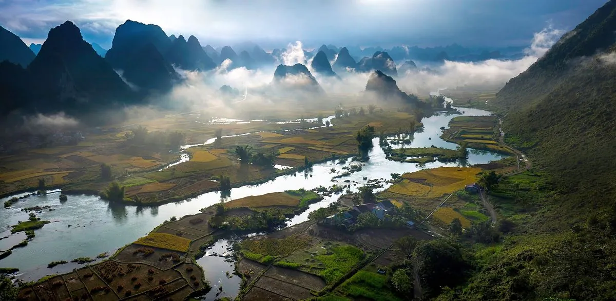
 4 days, 3 nights
The classic Cao Bang Loop
The full eastern loop, village nights and time to walk.

Destination guide
A limestone peak pierced by a round hole more than 50 m across, mirrored in a lake in the rainy season.
Mat Than Mountain – Phia Piot, “pierced mountain”, in Tay – is in former Cao Chuong commune, in the Tra Linh – Trung Khanh area. It is one of the Geopark’s geosites: a round tunnel through the summit, more than 50 m across, about 50 m above the lake below.
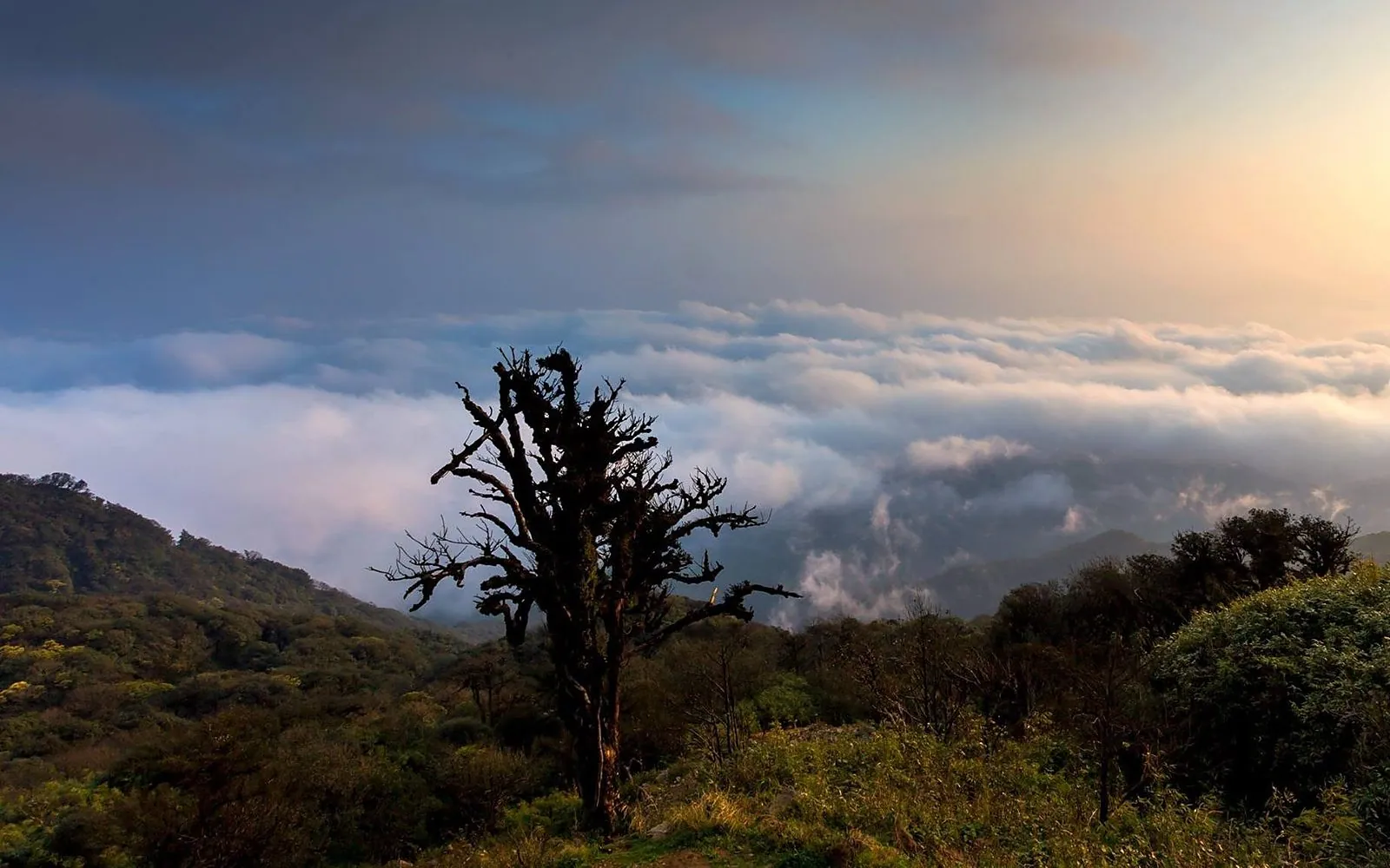
Around it lies tower karst at about 650 – 700 m. In the rainy season Nam Tra lake, about 15 ha, mirrors the peaks; from September the water drains away and the lake bed becomes meadow where villagers graze buffalo, cattle and horses. Young Vietnamese travellers also call it “Tuyet Tinh Coc”.
A limestone trail climbs right up to the hole, with a view straight through the mountain and across the valley. Go with a local.
Full of water around June – August, reflecting the peaks; a green meadow in the dry season.
About 500 – 600 m from the lake, roughly a 10-minute walk.
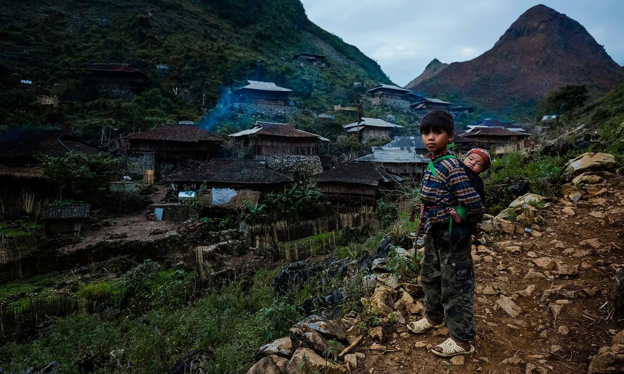
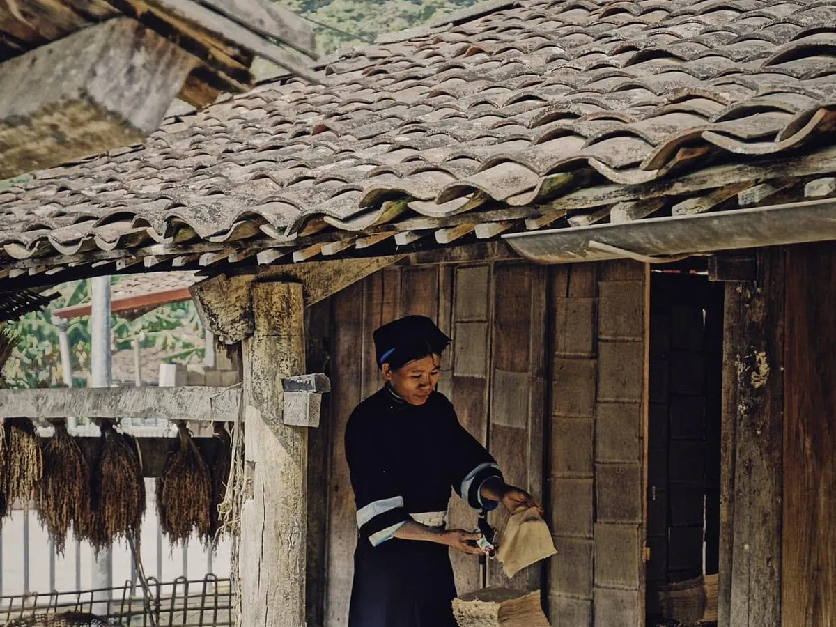
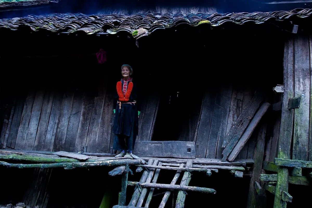
About 15 minutes on foot, with yin-yang tiled stilt houses and hand-built stone walls.
Jun – Aug
Nam Tra lake is full and the peaks are mirrored in it.
Sep – Nov
Clear skies, green meadows and easier climbing; loveliest in late afternoon.
Dry season
Good for camping below the mountain and stargazing.
Practical tips
4 days, 3 nightsThe full eastern loop, village nights and time to walk.
Short on time and want the biggest sights, sleeping in the provincial centre.
No. Nam Tra lake fills in the rainy season, around June – August; from September it drains into meadow.
The trail is short but steep and rocky – moderate. Go with a local and avoid rainy days.
The mountain is in the Tra Linh area, about 30 km from the provincial centre, and is usually visited on the way to or from Ban Gioc and Phong Nam.
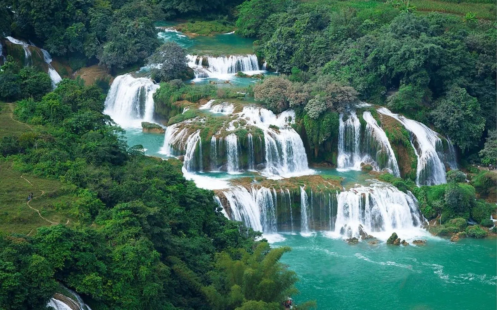
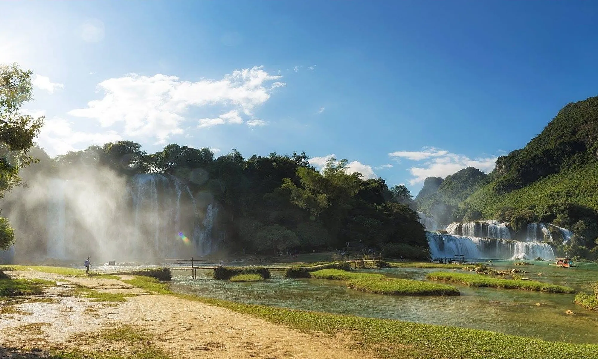
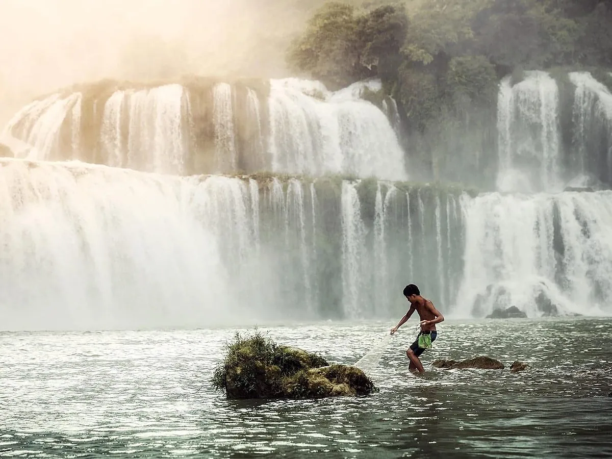
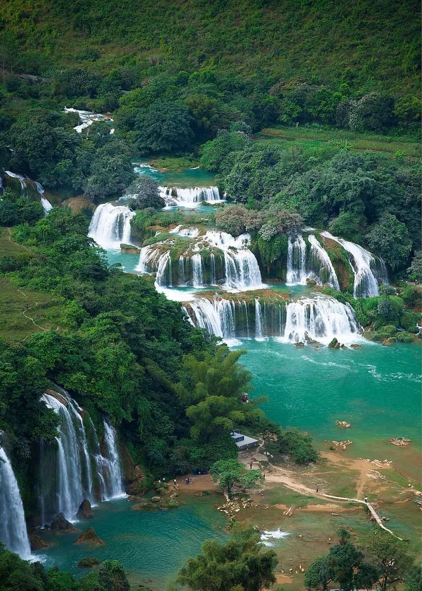
A 300 m wide curtain of water on the Quay Son River, right on the Vietnam–China border.
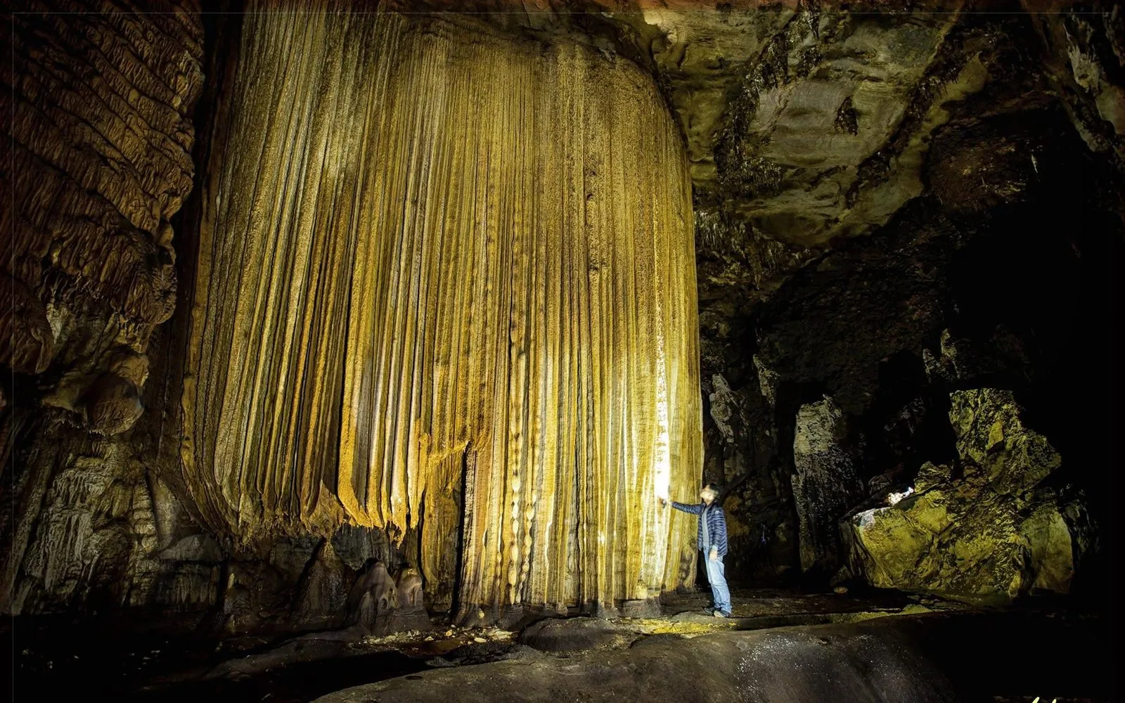
The “tiger cave” in the Tay language, with some of the most unusual formations in Cao Bang’s karst.
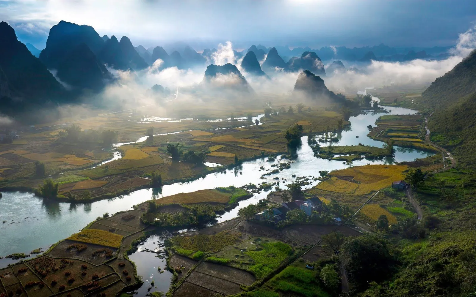
A rice valley on the Quay Son River
Articles and practical tips
1 – 7 day trips, 7 travel styles
Five places to stay
Transport, weather, tips
Newsletter
Upcoming festivals, seasons and new trip ideas, straight to your inbox.

Open a topic, then tap a question to ask the assistant.
Answers may be incomplete; please check official information before you travel.