VisitCao Bằng
UNESCO Geopark

UNESCO Global Geopark

UNESCO Geopark

More than 500 million years of Earth history in karst peaks, caves, underground rivers and border-land cultures.

2018Recognised by UNESCO (12 April 2018)
130+Geological heritage sites
4Themed discovery routes
2026“Green card” revalidation

An open-air museum of the Earth

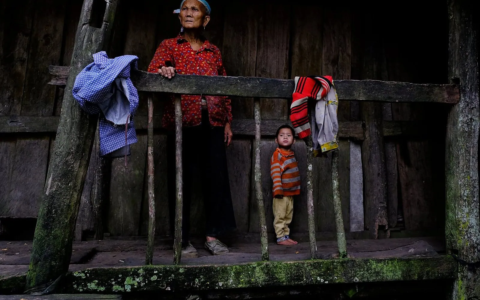
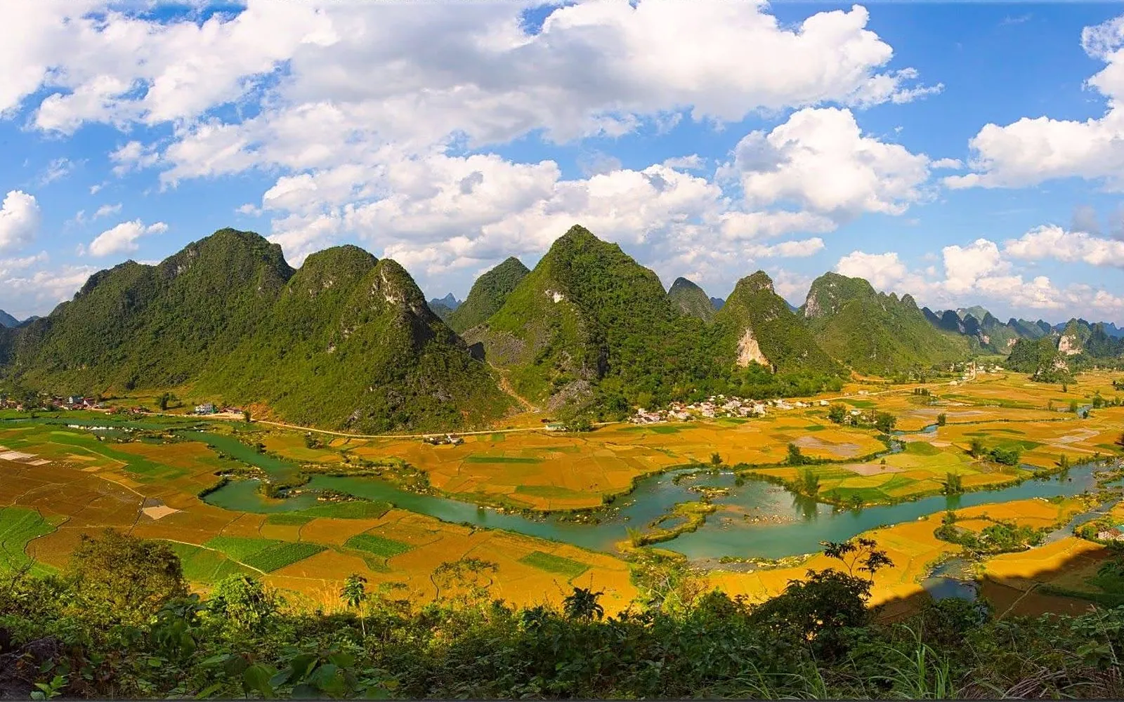
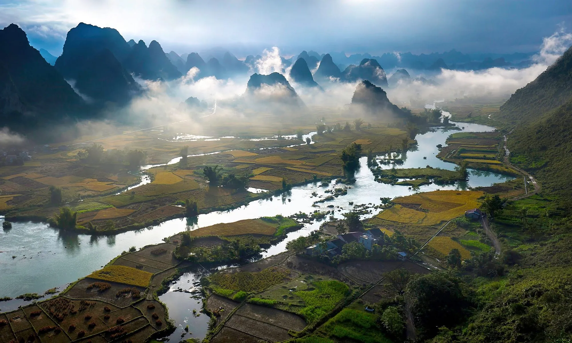
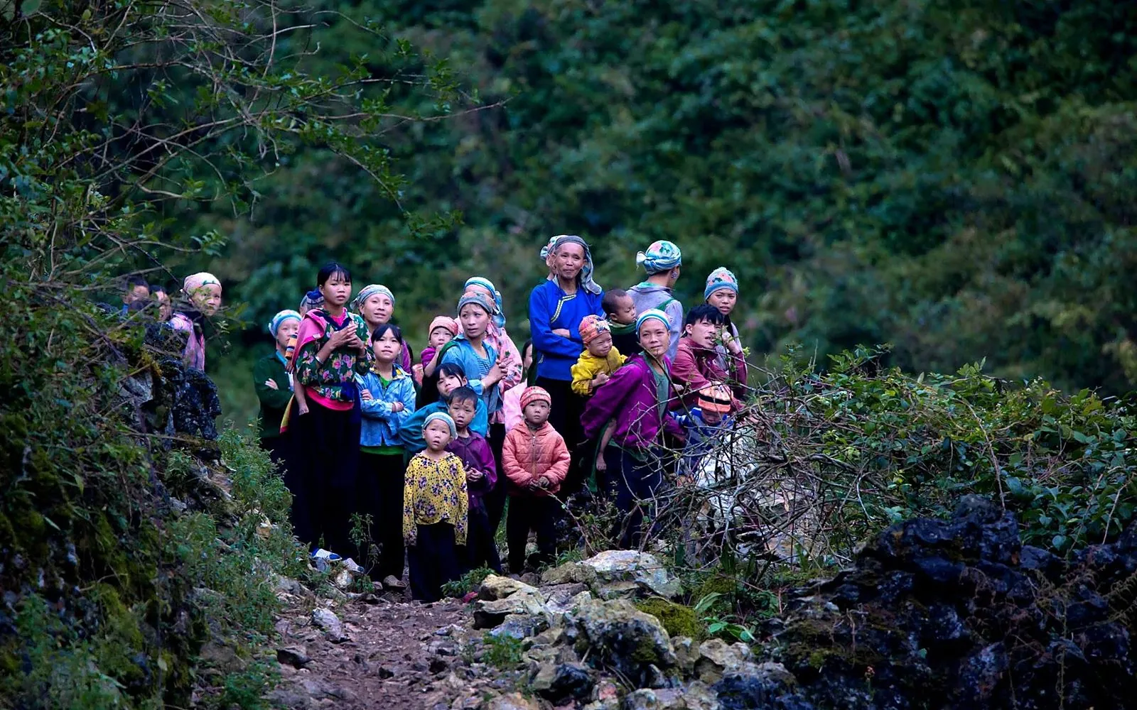
The Non nuoc Cao Bang UNESCO Global Geopark covers more than 3,000 km² (about 3,683 km²), spanning much of the east and centre of the province. It preserves traces of over 500 million years of Earth history: tower karst, caves, underground rivers and fossils, alongside the living cultures of the Tay, Nung, Hmong, Dao and other peoples. UNESCO recognised the geopark on 12 April 2018 and confirmed its status with a “green card” at the 2026 revalidation.

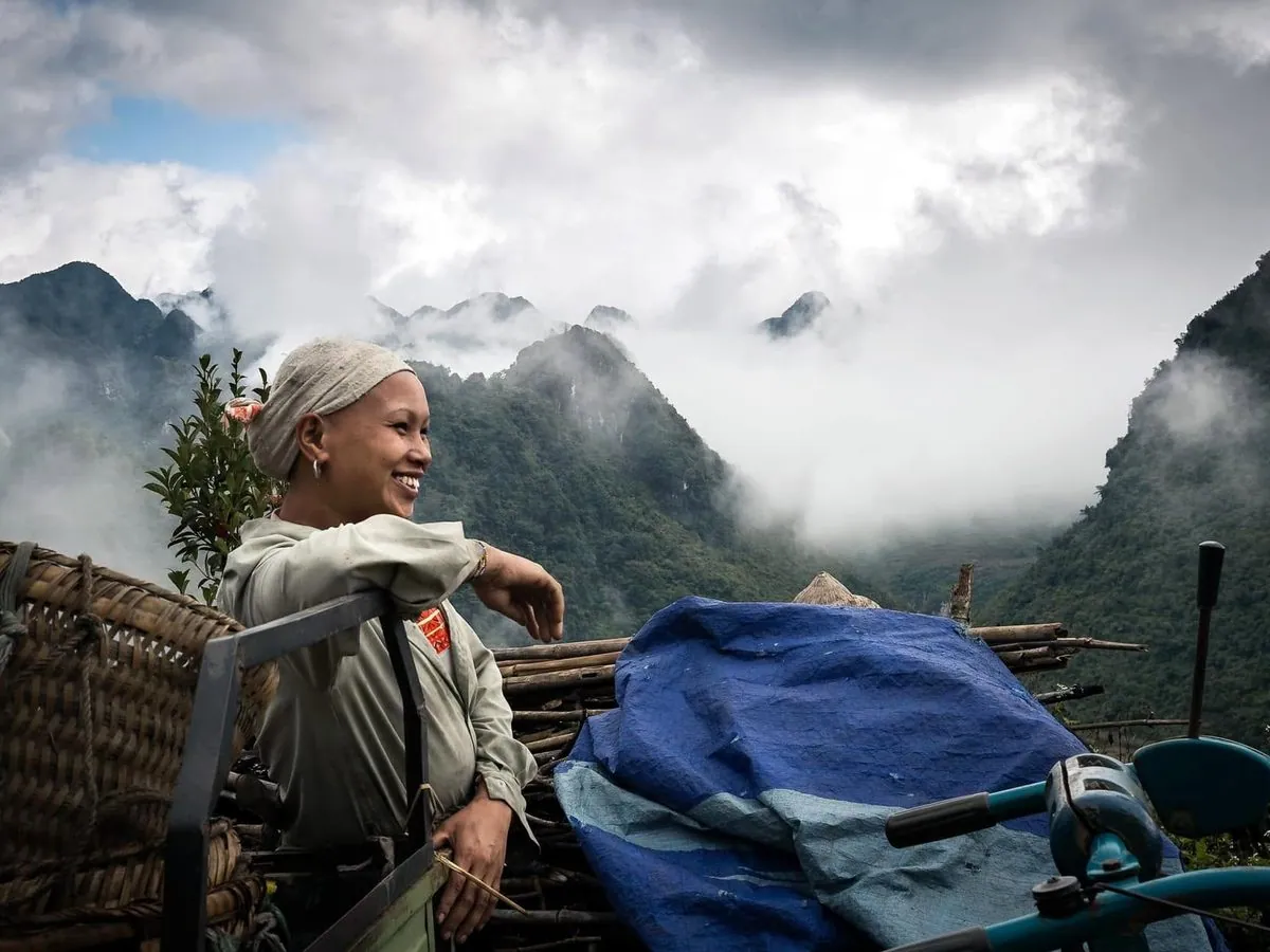
A geopark is not a fenced reserve: people live, farm and practise crafts within it. Tourism here goes hand in hand with conservation and local livelihoods.

How the land of Non nuoc formed

3,683 km²geopark area
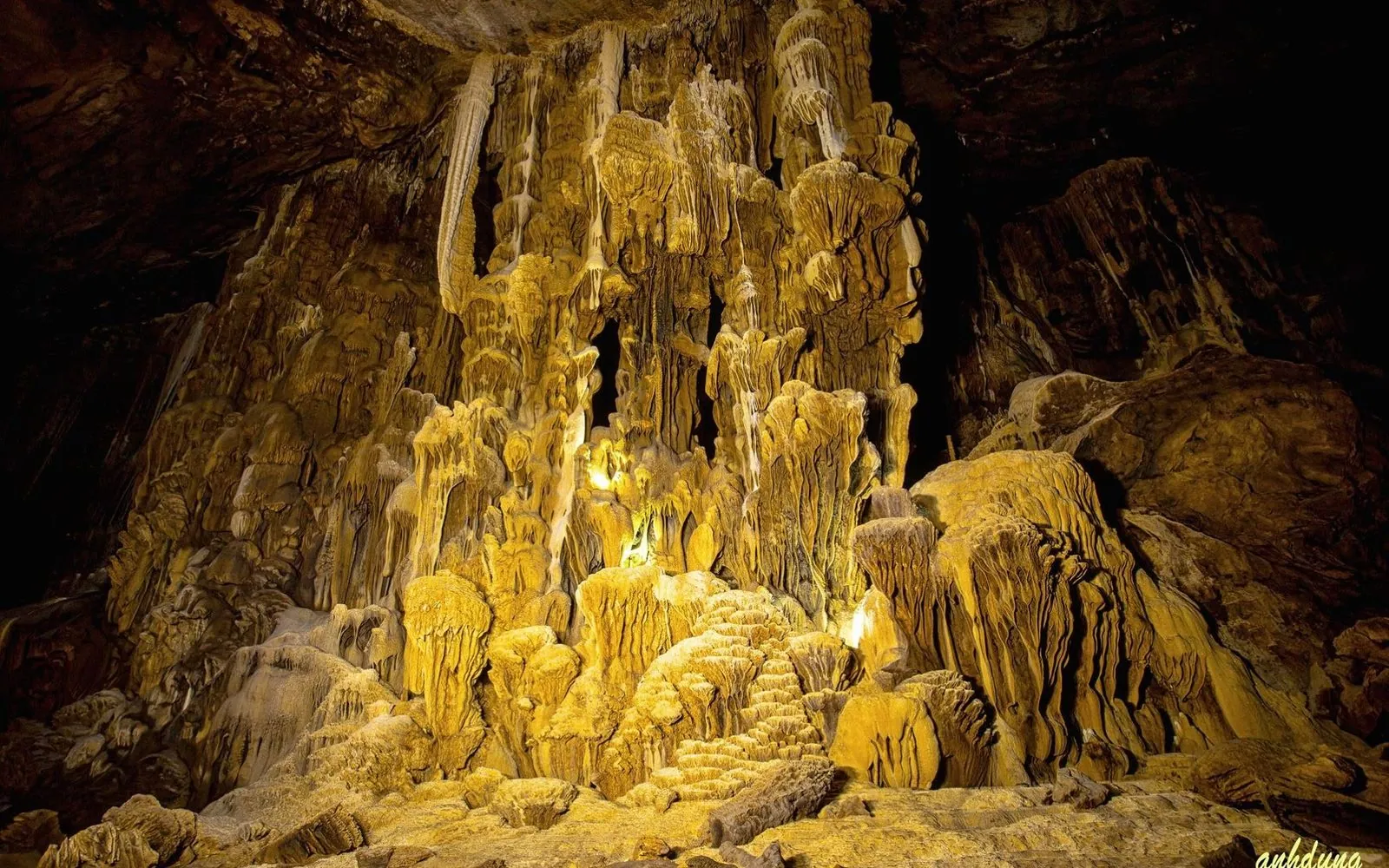
200caves, about 50 suitable for tourism
60%of the area is limestone
2026UNESCO revalidation certificate

Cao Bang’s limestone mountains were once an ancient sea floor. The limestone and sediments are the remains of corals, sea creatures and mud laid down over hundreds of millions of years, so fossils are everywhere: corals, brachiopods and ammonites around 260 million years old.

Then came volcanic activity that left basalt and granite – most visible at Phia Oac – Phia Den, with pillow basalt at Ma Phuc and Khau Khoang passes. Over millions of years water dissolved the limestone into karst: tower and cone peaks, jagged “cat’s-ear” rock, sinkholes, caves and karst plains. Limestone covers over 60% of the geopark.

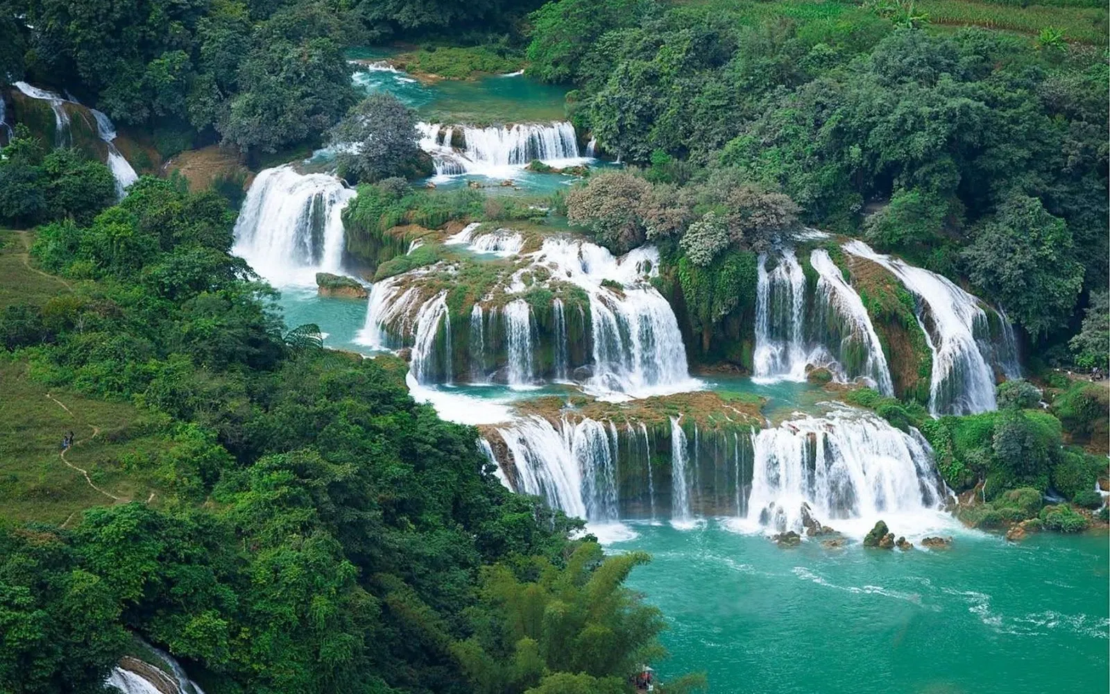
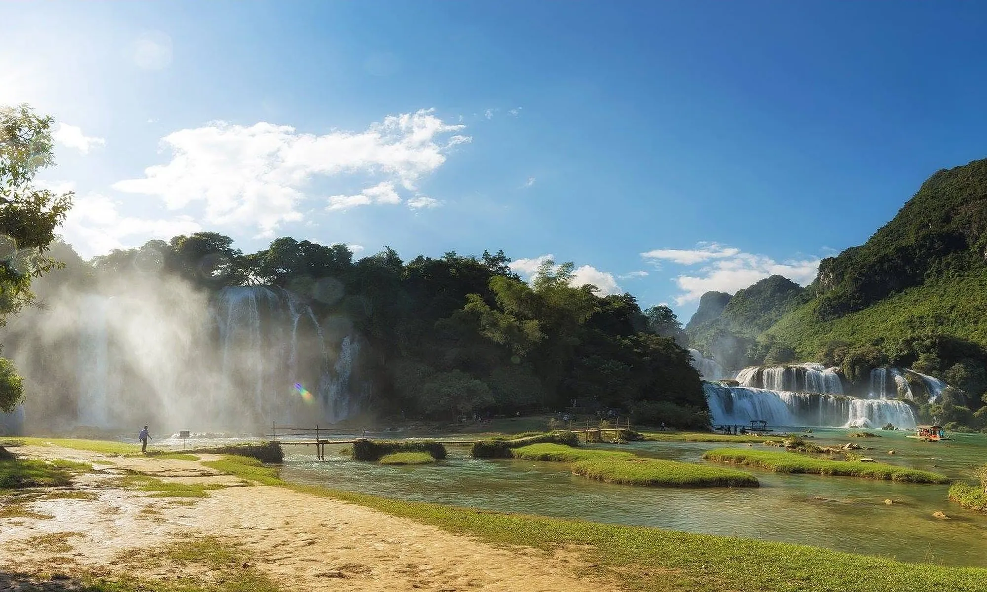
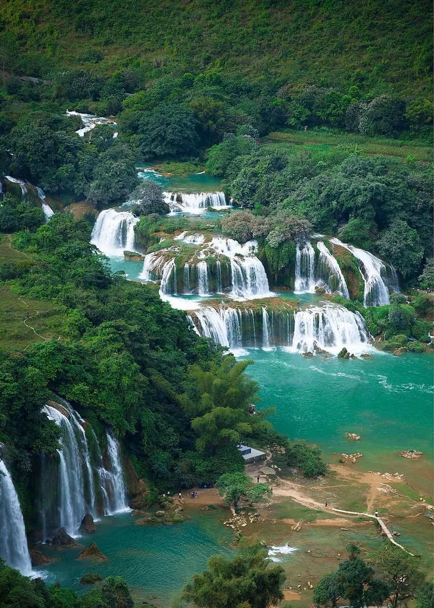
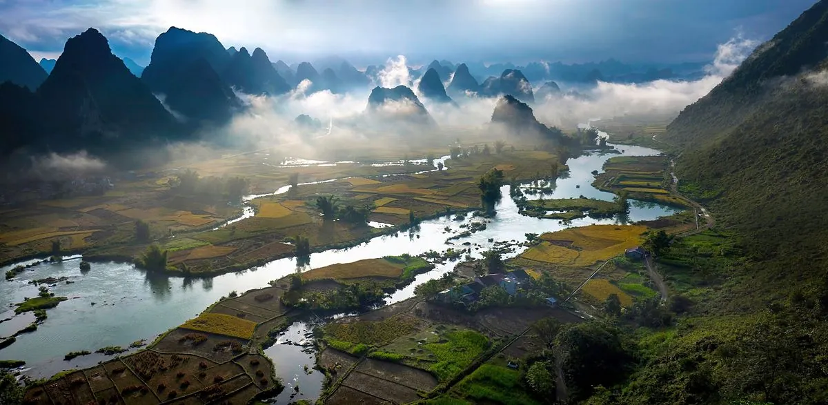
The great Cao Bang – Tien Yen fault almost splits the province: the west mixes limestone and earth mountains, granite and planation surfaces such as the Dragon’s Back; the east is old-stage karst of peaks, caves and rivers winding through valleys – home to Phong Nam, Mat Than mountain and Ban Gioc Waterfall.

Read: the geopark explained in 5 minutes →

Four ways to explore the geopark

Northern route

A journey to the roots

Northern route

Through the Hoa An – Ha Quang area: King Le temple, the Kim Dong memorial, the Pac Bo Special National Monument and ancient fossil sites. History meets jade streams and limestone peaks.

Highlights

  • Pac Bo Historical Site
  • Kim Dong memorial
  • King Le temple
  • Ammonite fossil site
Western route

Phia Oac – mountains of change

Western route

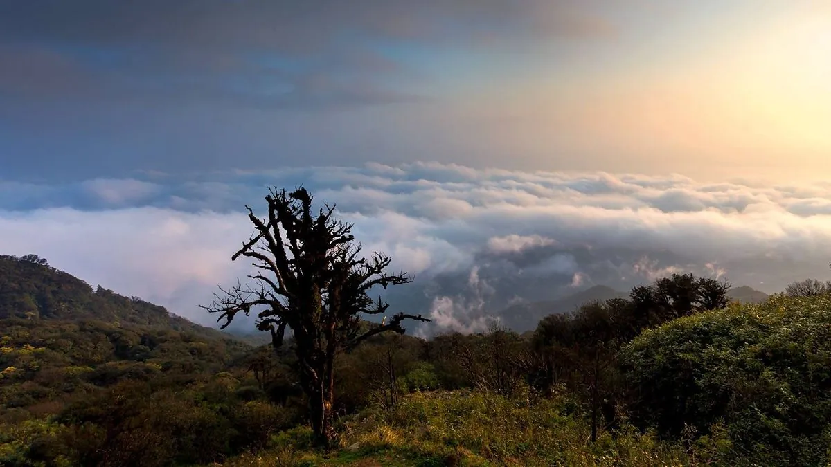
Towards the Nguyen Binh area, with around 16 stops: Phia Oac – Phia Den National Park, 1,931 m Phia Oac peak, primary forest, Dao villages and fossil sites.

Highlights

  • Phia Oac peak, 1,931 m
  • Phia Oac – Phia Den eco-area
  • Dao Tien paper-making village
  • Lang Mon fossil site
Eastern route

Local culture in a fairy-tale land

Eastern route

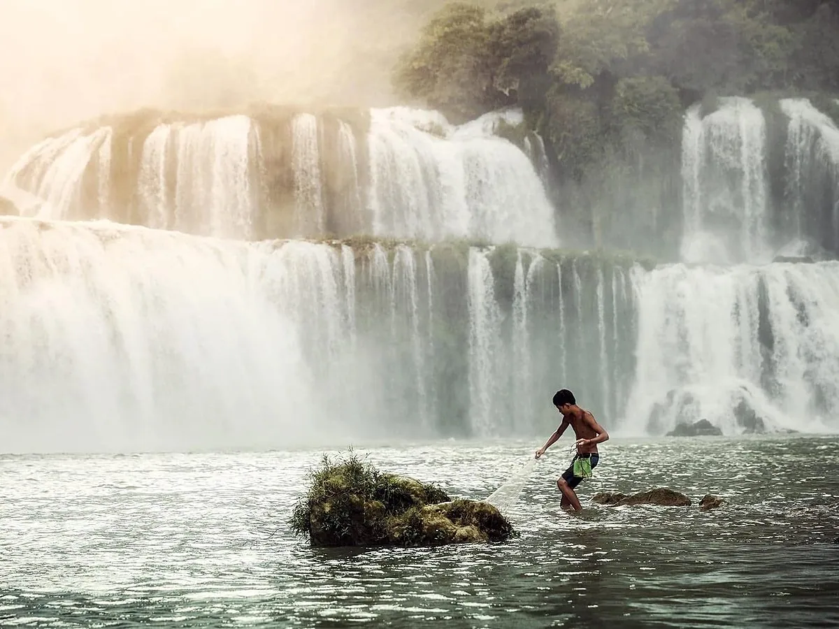
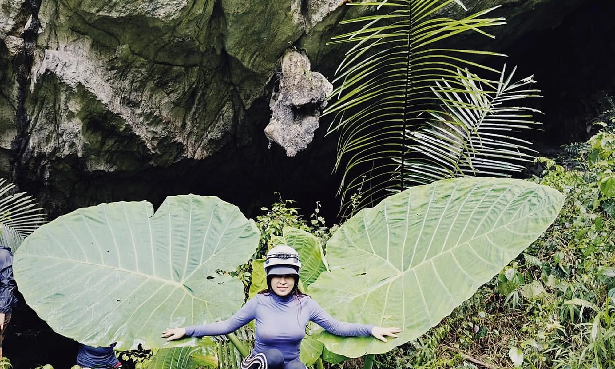
The best-known route, through the Tra Linh – Quang Uyen – Trung Khanh – Ha Lang area: Nguom Ngao Cave, Bat Cave, Mat Than mountain, Ban Gioc Waterfall and the Quay Son River valley.

Highlights

  • Ban Gioc Waterfall
  • Nguom Ngao Cave
  • Mat Than Mountain
  • Khuoi Ky stone village
  • Phong Nam – Ngoc Con valley
“Years of fire” route

History along Route 4

“Years of fire” route

Through the provincial centre, Quang Hoa and Thach An, linked to the 1950 Border Campaign and historic Route 4: Bao Dong peak, where Ho Chi Minh observed the campaign, and geosites along the way.

Highlights

  • Bao Dong peak
  • Route 4 historic sites
  • Thach An karst landscapes

Geosites worth a stop

Fossil Lake (Thuc Phan ward)

A coloured sediment wall over 30 m long and 8 – 12 m high, with coalified plants and freshwater shells about 23 million years old – right in the provincial centre.

Ma Phuc Pass

A seven-tier pass over 3.5 km long; at its foot lies pillow basalt from lava erupted on the sea floor about 260 million years ago.

Phong Nam karst plain

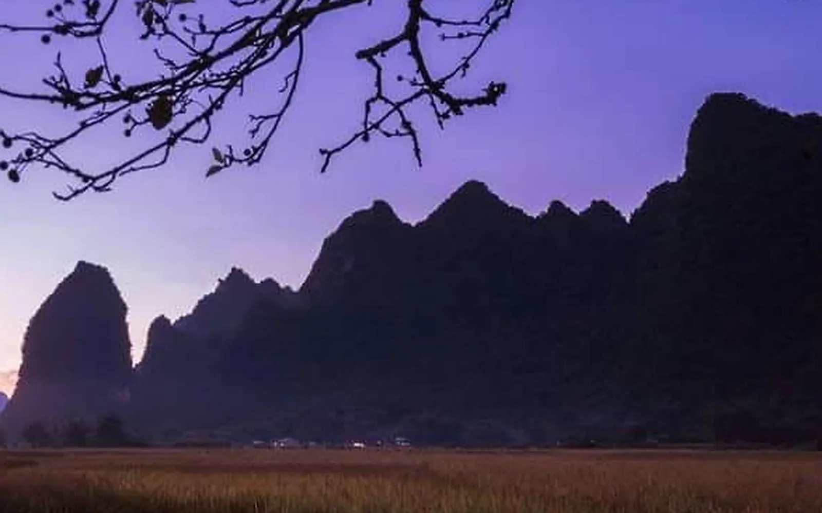
Old-stage karst: a limestone block cut into towers and cones around a flat plain beside the Quay Son River.

Doc Lap water wheels

Bamboo wheels built entirely from forest materials, lifting stream water to the fields day and night.

Lung Luong ammonite fossils

Ammonites in late-Permian shallow-sea limestone, on the northern route.

Hoang Tung stone garden

Limestone pinnacles over 20 m tall capped with red rock – traces of a Triassic rift sea.

The Dragon’s Back (The Duc, Nguyen Binh)

A karst planation surface at 700 – 800 m stretching for kilometres, formed about 5 million years ago.

Ban Phuong bamboo forest

Over 30 ha of bamboo on the hillsides near Phia Den, with walking paths and viewpoints.

Thoong Got

A “mini Ban Gioc” on the middle Quay Son River, best in September – October with golden rice.

The “Rang Phat” Magic Spring

In a Nung limestone valley; legend says that when you clap and call, the water in the rock basin rises.

Geopark code

Tread lightly, leave no trace

  • Never break stalactites or take rocks and fossils as souvenirs.
  • Don’t write on or carve cave walls and rock faces.
  • Carry your rubbish out of caves, lakes and falls; avoid single-use plastic.
  • Stay on trails and follow signs; hire a local guide in remote areas.
  • Choose community homestays, products and services inside the geopark.

You may also like

The Cao Bang newsletter, once a month

Newsletter

The Cao Bang newsletter, once a month

Upcoming festivals, seasons and new trip ideas, straight to your inbox.