What is a geopark?
A UNESCO Global Geopark is an area with geological heritage of international value, managed for conservation, education and sustainable development together with local communities. Non nuoc Cao Bang was designated on 12 April 2018 – Vietnam’s second – revalidated in 2022, and given a second “green card”, with the certificate presented in April 2026.
From sea floor to karst peaks
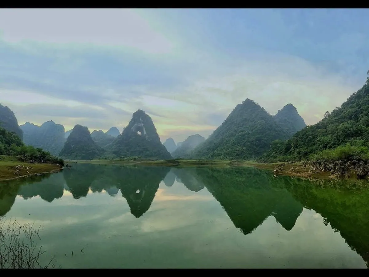
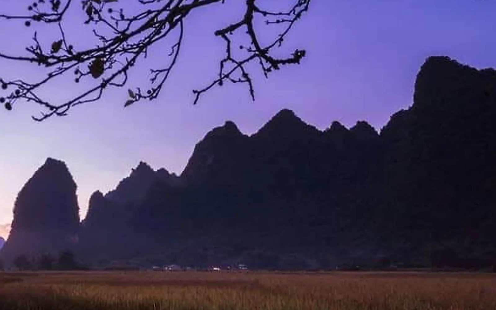
Cao Bang’s limestone and sediments are the remains of corals, sea creatures and mud laid down over hundreds of millions of years, so fossils are everywhere: corals, brachiopods and ammonites around 260 million years old. Then came volcanic activity that left basalt and granite – most visible at Phia Oac – Phia Den, with pillow basalt at Ma Phuc Pass. Over millions of years rainwater dissolved the limestone into karst: tower and cone peaks, jagged “cat’s-ear” rock, sinkholes, caves and karst plains.
Why do east and west look so different?
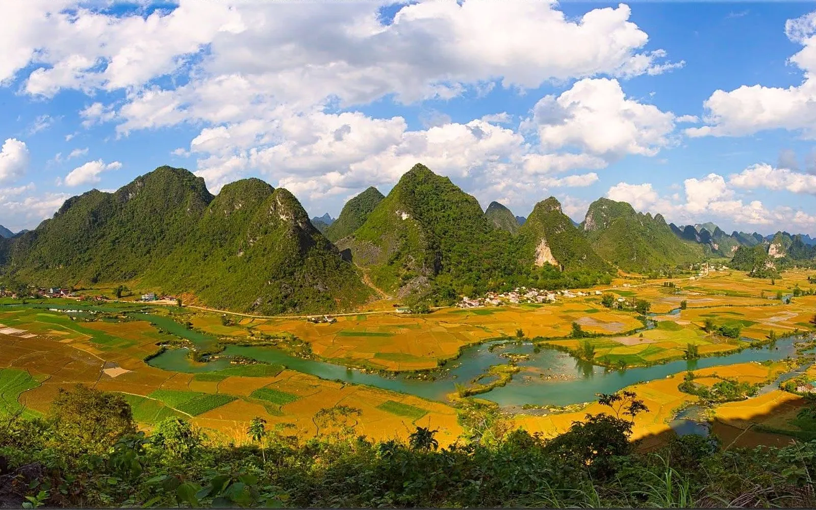
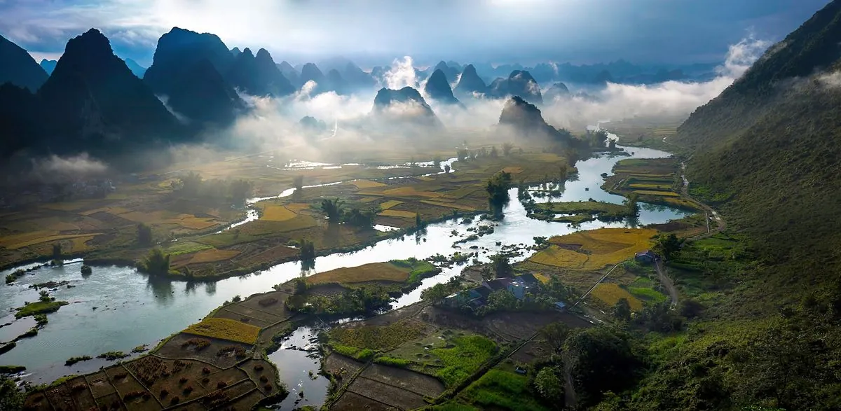
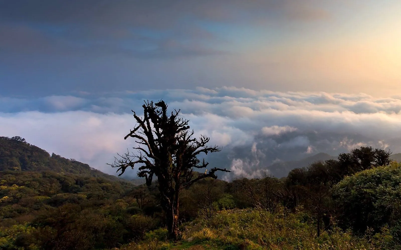
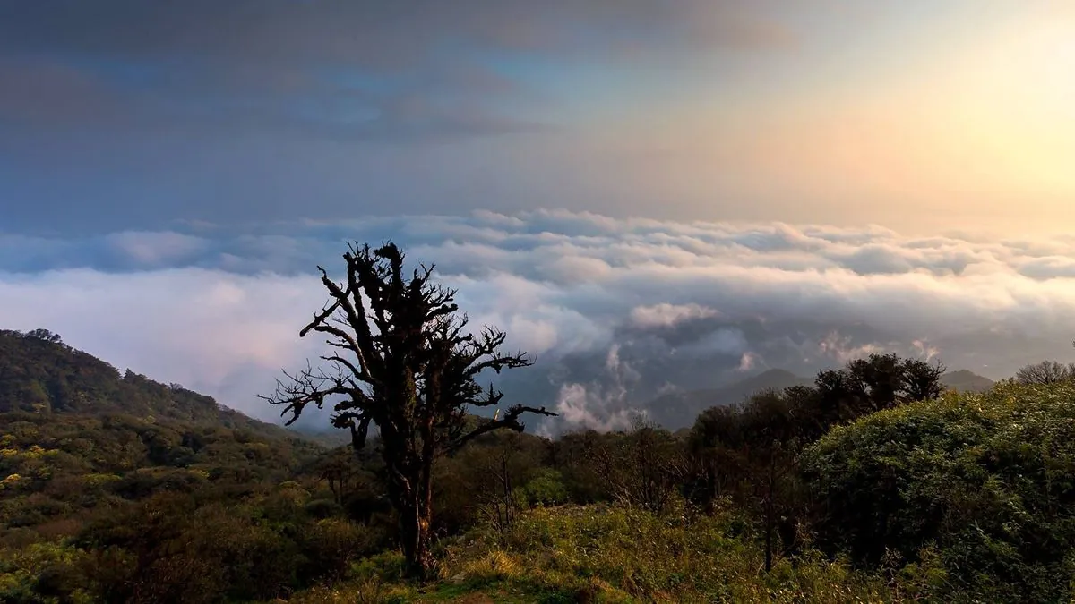
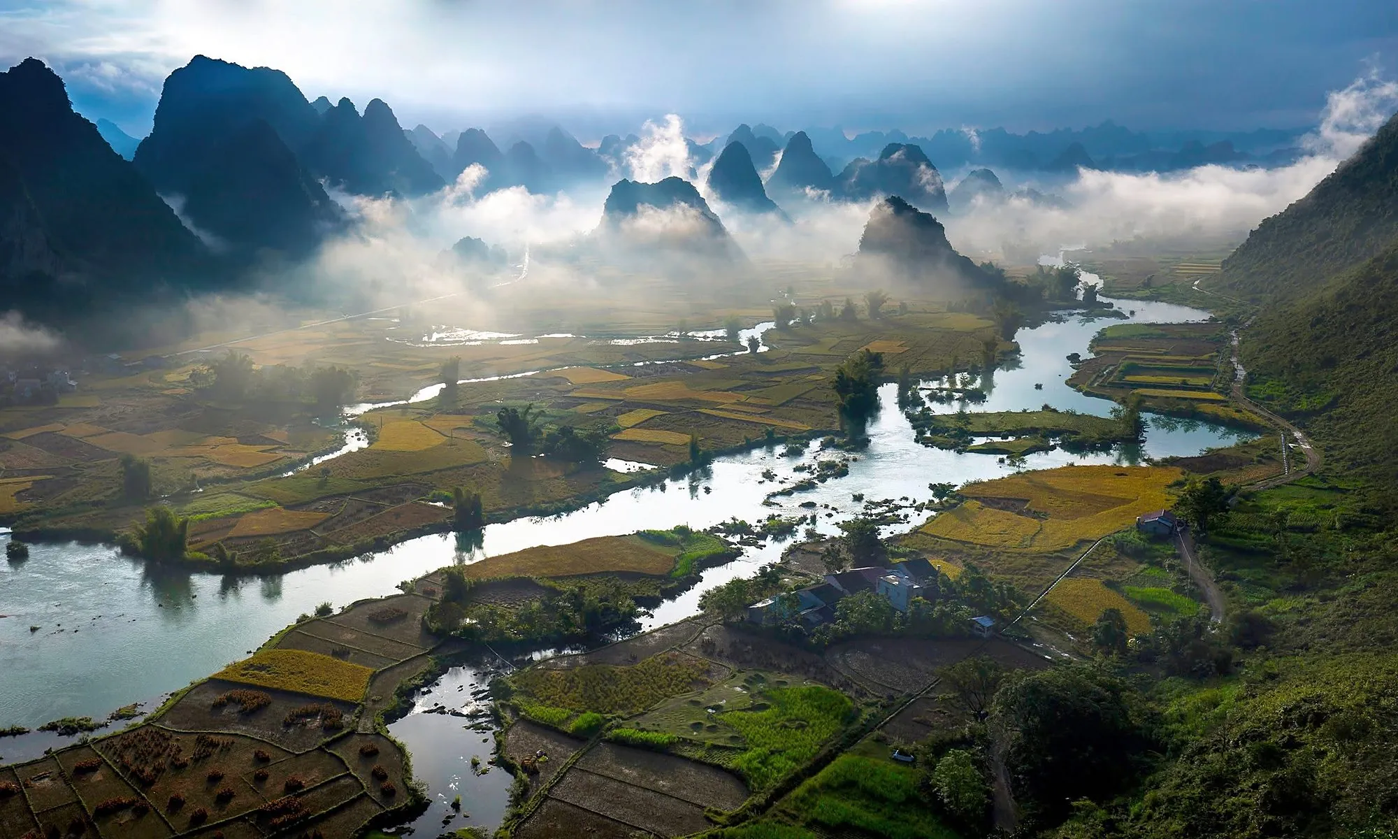
The great Cao Bang – Tien Yen fault almost splits the province in two. The west mixes limestone and earth mountains, with Phia Oac granite, volcanic traces and planation surfaces at 700 – 1,000 m such as the Dragon’s Back. The east is old-stage karst of peaks, caves and rivers winding through valleys – home to Phong Nam, Mat Than mountain and Ban Gioc Waterfall.
Numbers to remember
- More than 3,683 km², over 60% of it limestone.
- 130+ geosites, about 200 caves, some 50 of them suitable for tourism.
- More than 500 million years of Earth history.
- Four routes: north “Return to the Roots”, east “Indigenous culture in a fairyland”, south “Times of fire and flowers”, west “Discover Phia Oac – mountains of change”.
Where to see it best
- Ban Gioc Waterfall: formed where a fault cut limestone about 380 million years old.
- Fossil Lake in the provincial centre: a coloured sediment wall with plant and freshwater shell fossils about 23 million years old.
- Ma Phuc Pass: pillow basalt from lava erupted on the sea floor about 260 million years ago.
- Lung Luong ammonite fossils on the northern route.
- The Phong Nam karst plain along the Quay Son River.
Compiled from the Non nuoc Cao Bang Geopark management, Vietnam’s official tourism portal and the press; updated October 2026. Schedules and rules can change, so check before you travel.