 Mountains & caves
Trek Phia Oac – Phia Den
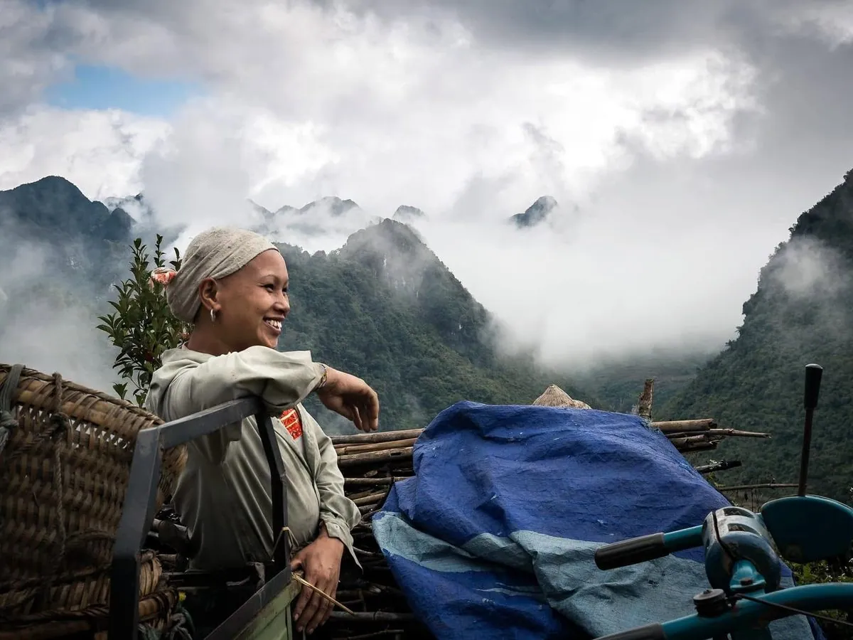
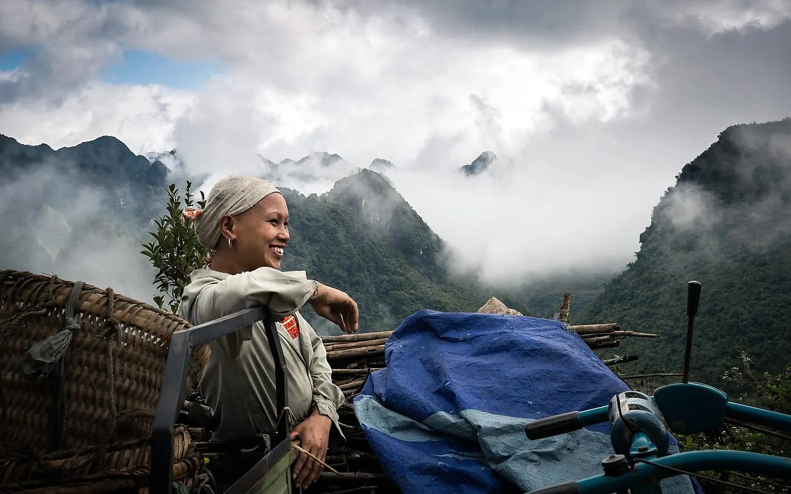
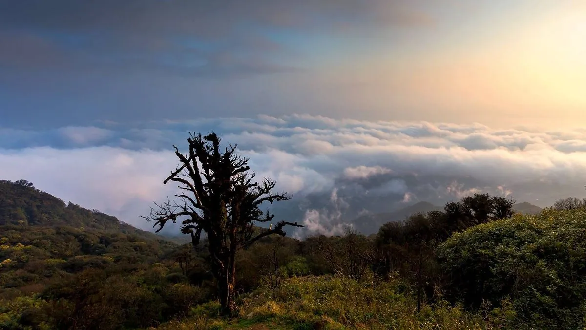
Hike through primary forest and chase clouds on 1,931 m Phia Oac, Cao Bang’s rooftop.
What to do
Feel the pulse of the highlands: climbing, rafting, cycling and riding the passes inside a UNESCO Global Geopark.
Soaring karst peaks, rice valleys, clear rivers and winding passes make Cao Bang a natural playground. Whether you like it gentle, cycling or rafting, or want a challenge, trekking or riding the passes, there is an adventure here for you.
Mountains & cavesHike through primary forest and chase clouds on 1,931 m Phia Oac, Cao Bang’s rooftop.
 Mountains & caves
 Mountains & cavesMountains & caves
Hike through primary forest and chase clouds on 1,931 m Phia Oac, Cao Bang’s rooftop.
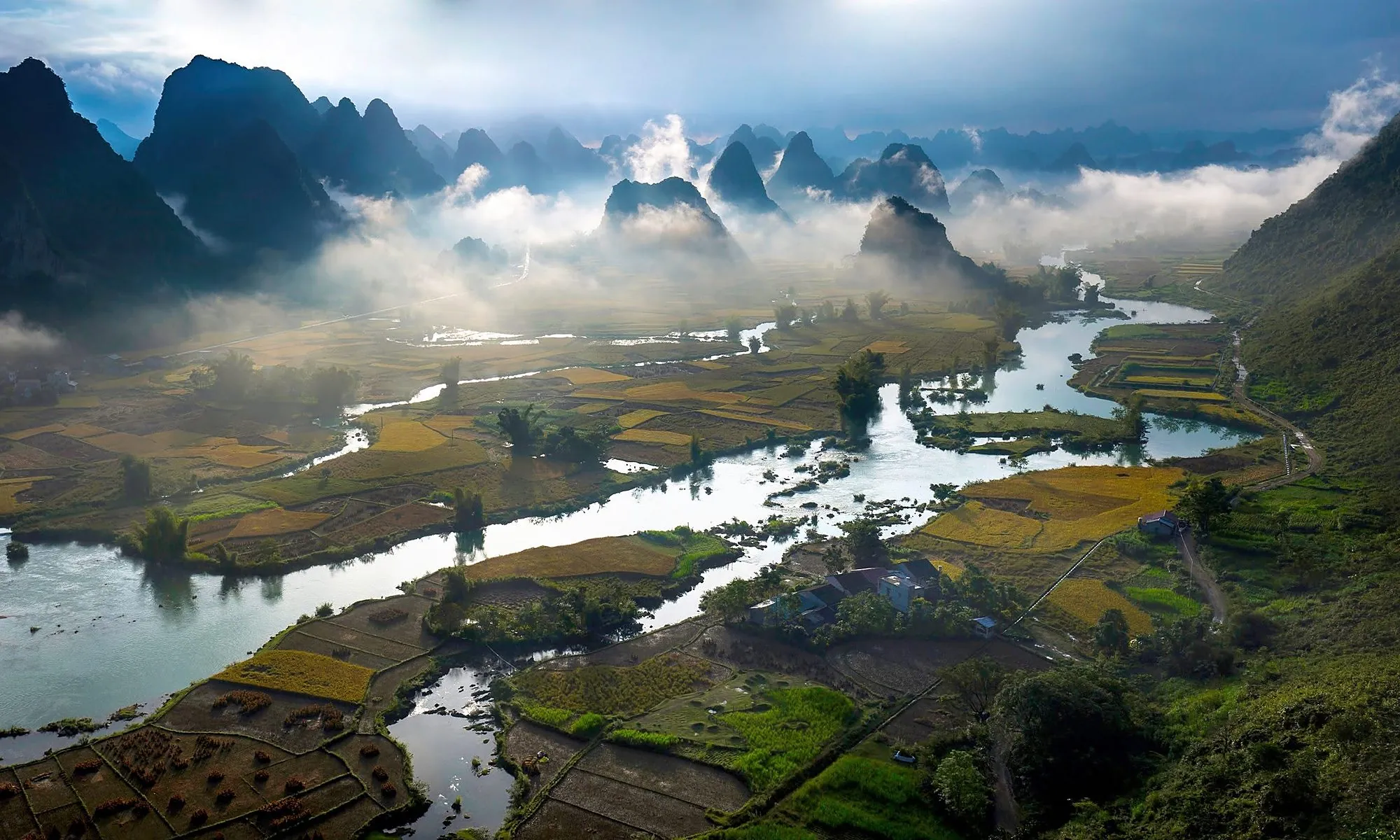
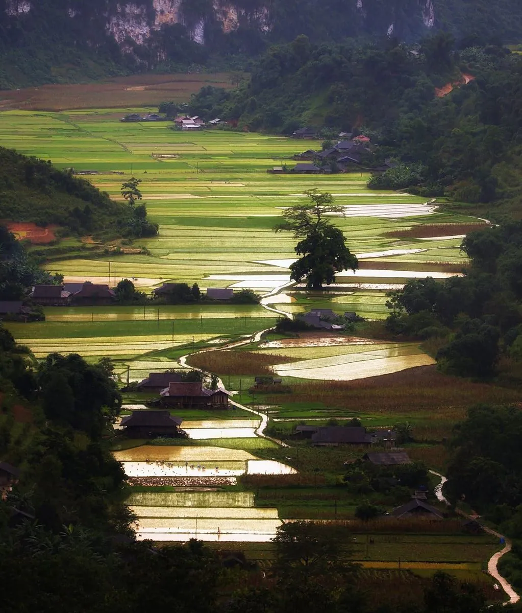
Mountains & cavesA short, steep climb up the hillside for a panorama of the Ngoc Con valley and the Quay Son River.
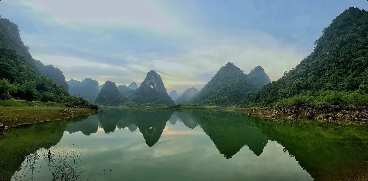
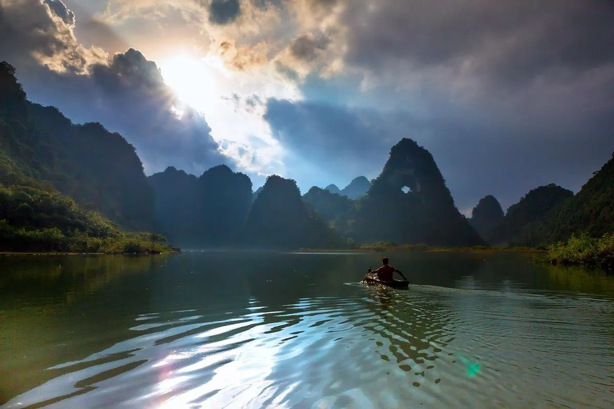
Mountains & cavesA steep trail up to a 50 m hole through the mountain, with views over rice valleys and karst peaks.
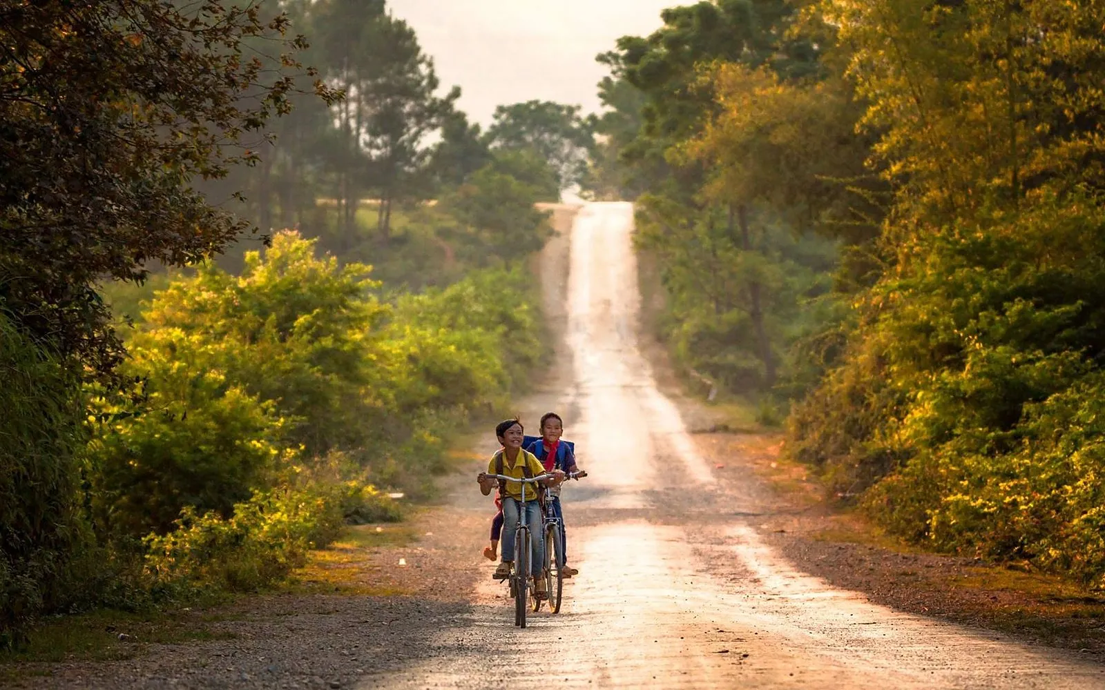 Roads & passes
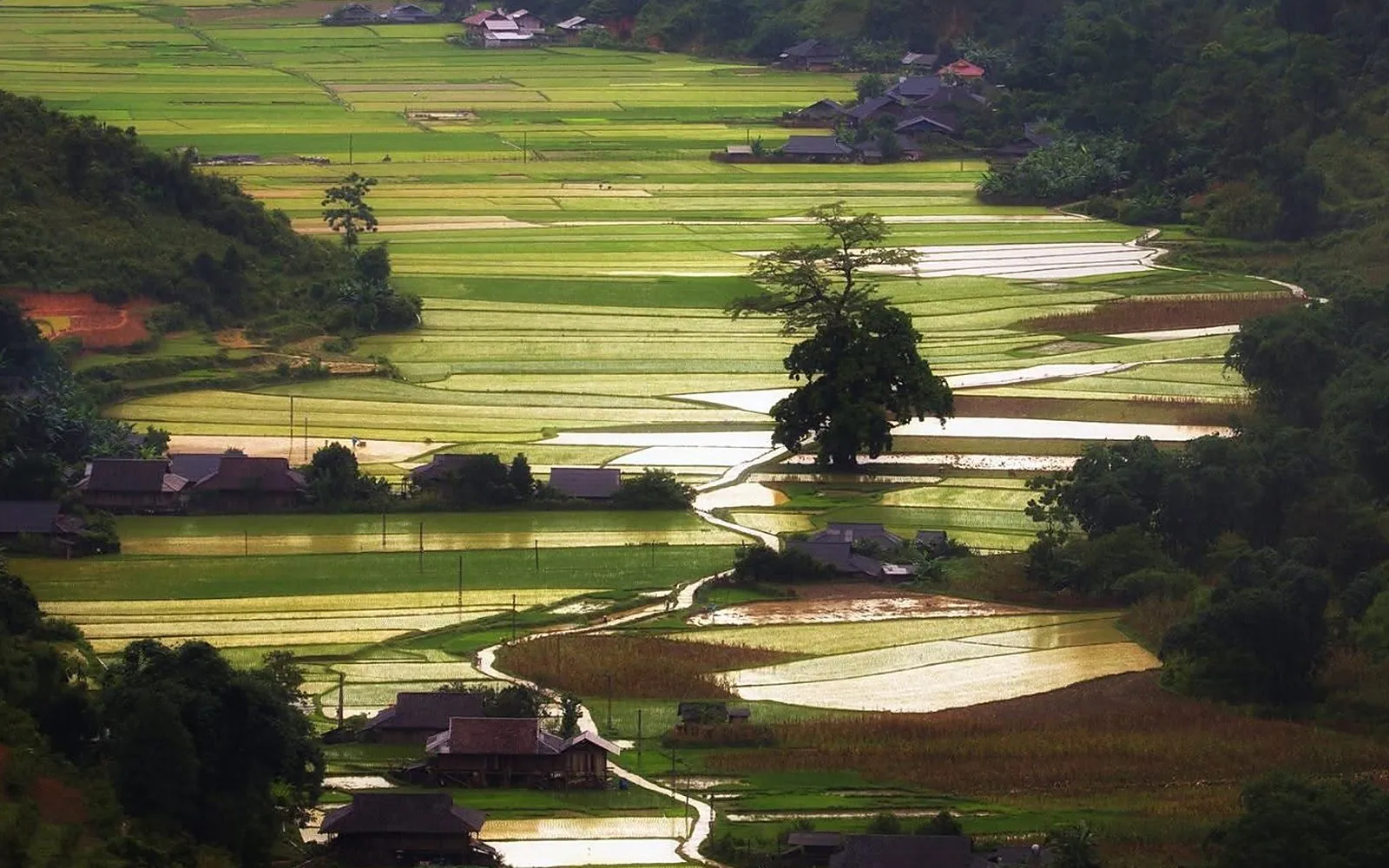
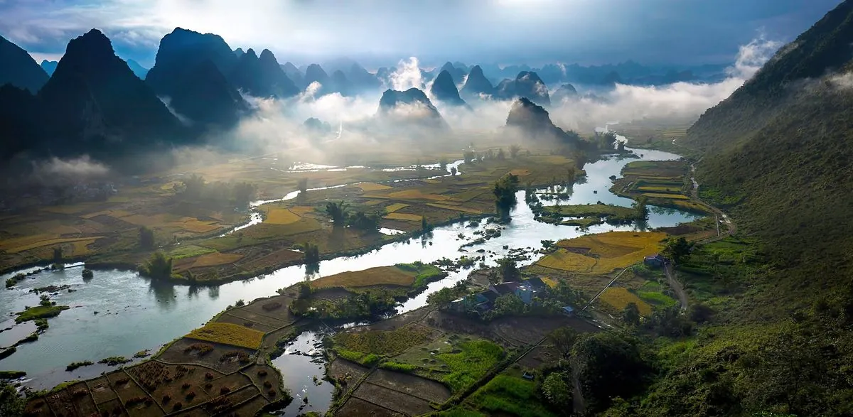
Pedal past rice fields, stone villages and karst peaks along the Quay Son River.
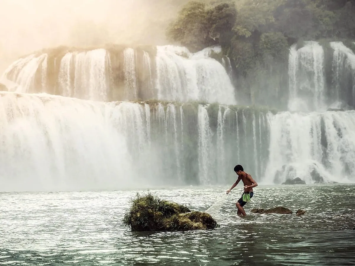 Rivers & lakes
A bamboo raft takes you right up to the white curtain of Ban Gioc.
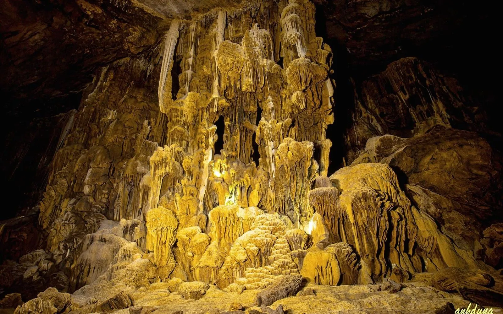 Mountains & caves
Millions of years of stalactites hidden inside the limestone.
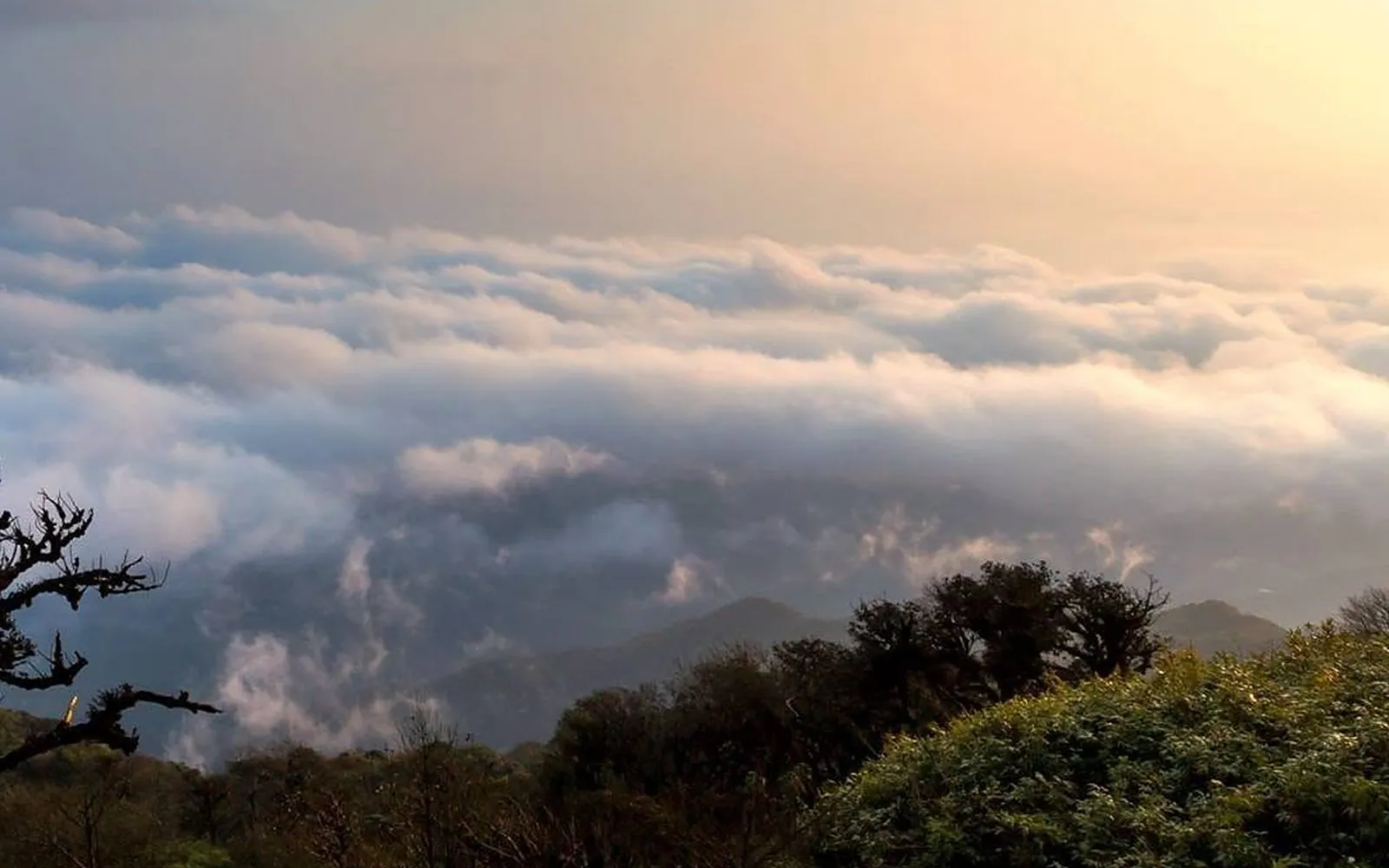 Mountains & caves
Pitch a tent beneath the karst for sunset and starry highland skies.
Mountains & caves
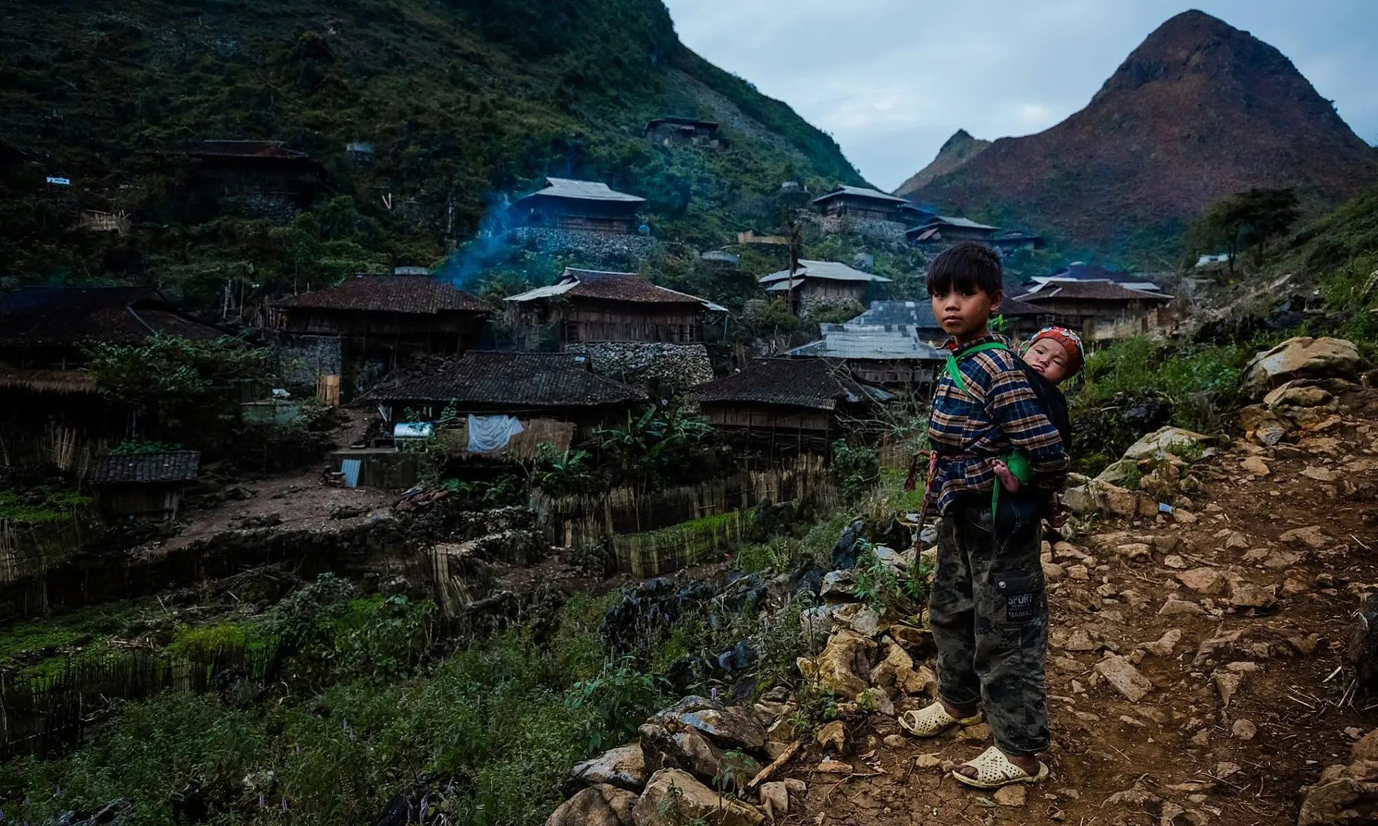
Trails wind through primary forest to the province’s highest ground, past Dao Tien villages, bamboo groves and moss forest. Autumn and winter bring seas of cloud; in deep cold snaps the summit can frost over.
Safety: Go with a local guide; wear hiking boots and bring warm layers and a rain jacket; tell your host your plans.
Mountains & caves
The way up to Pi Pha (Phi Pha) viewpoint follows the Bo Hay trail on the limestone slope above the Ngoc Con valley. Depending on the path and your fitness it takes from about 15 minutes to an hour. Locals recommend going at sunrise, while mist still fills the valley floor.
Safety: The dirt-and-rock path is very slippery after rain: wear grippy shoes, don’t climb in the dark or heavy rain, and ask locals or your host for the right trailhead.
Mountains & caves
A limestone path climbs from the foot of the mountain to the giant “eye” that pierces it. From above, rice fields and limestone ridges spread across the Tra Linh area.
Safety: The rocky trail is steep and slippery when wet: go only in dry weather with a local guide.
Roads & passes
Flat village lanes around Ban Gioc and Khuoi Ky stone village make a perfect half-day ride. Stronger riders can continue to Nguom Ngao Cave and other eastern-route geosites.
Safety: Wear a helmet and carry water; avoid riding after dark and give way on bends.
Rivers & lakes
On the Quay Son River, bamboo rafts carry visitors close to the base of the falls to feel the cool spray and thunder of the water: an adventure for all ages.
Safety: Wear the life jacket provided; keep phones and cameras dry; follow border-area rules on site.
Mountains & caves
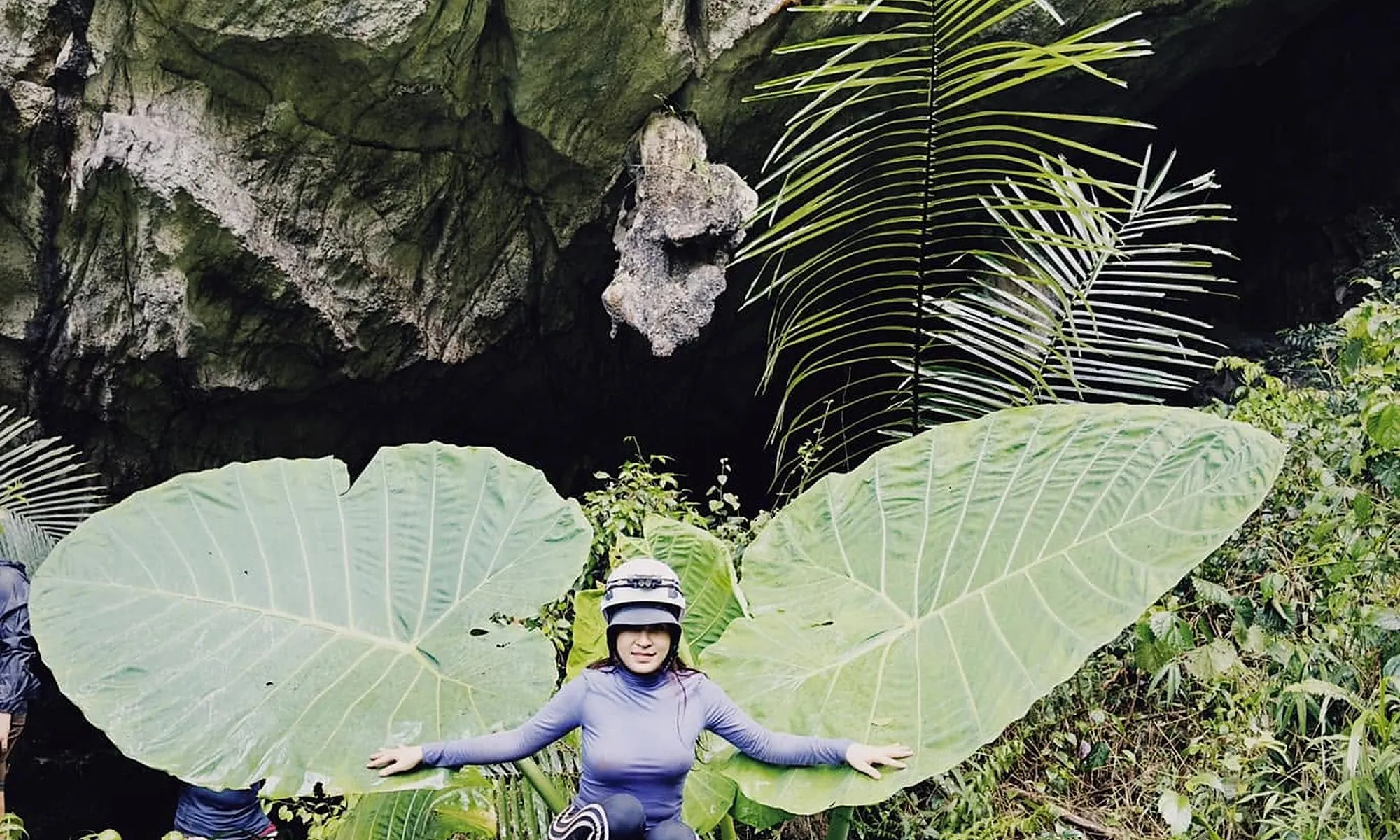
Cao Bang is classic karst country, riddled with caves. At Nguom Ngao, the lit section open to visitors is about 950 m long and easy for everyone; wilder caves should only be explored with experienced operators.
Safety: Enter only caves open to visitors or go with licensed operators; bring a torch and grippy shoes; don’t touch the formations.
Mountains & caves
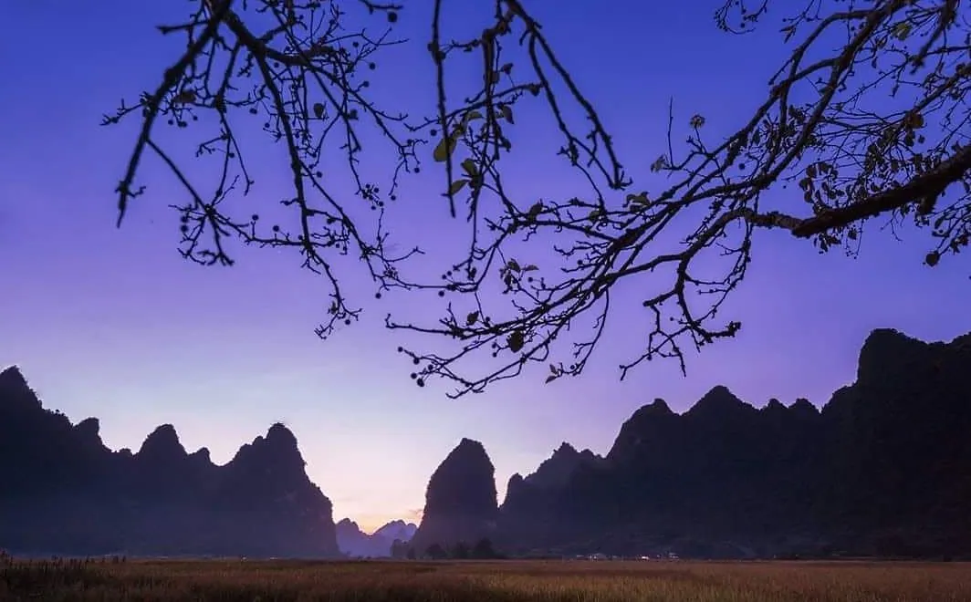
Clean air and little light pollution fill Cao Bang’s night skies with stars. The meadows below Mat Than mountain and the Phia Den highlands are favourite camping spots, and some homestays along the Quay Son River have space for tents.
Safety: Camp only where allowed; take your rubbish home; no fires near forests; highland nights are cold, so bring a warm sleeping bag.
Did you know?
At 1,931 m, Phia Oac is Cao Bang’s highest peak. Deep cold snaps can bring frost and even light snow to the summit.
Safety
Rafting, trekking, markets
Four discovery routes
1 – 7 day trips, 7 travel styles
Five places to stay
Newsletter
Upcoming festivals, seasons and new trip ideas, straight to your inbox.
Open a topic, then tap a question to ask the assistant.
Answers may be incomplete; please check official information before you travel.